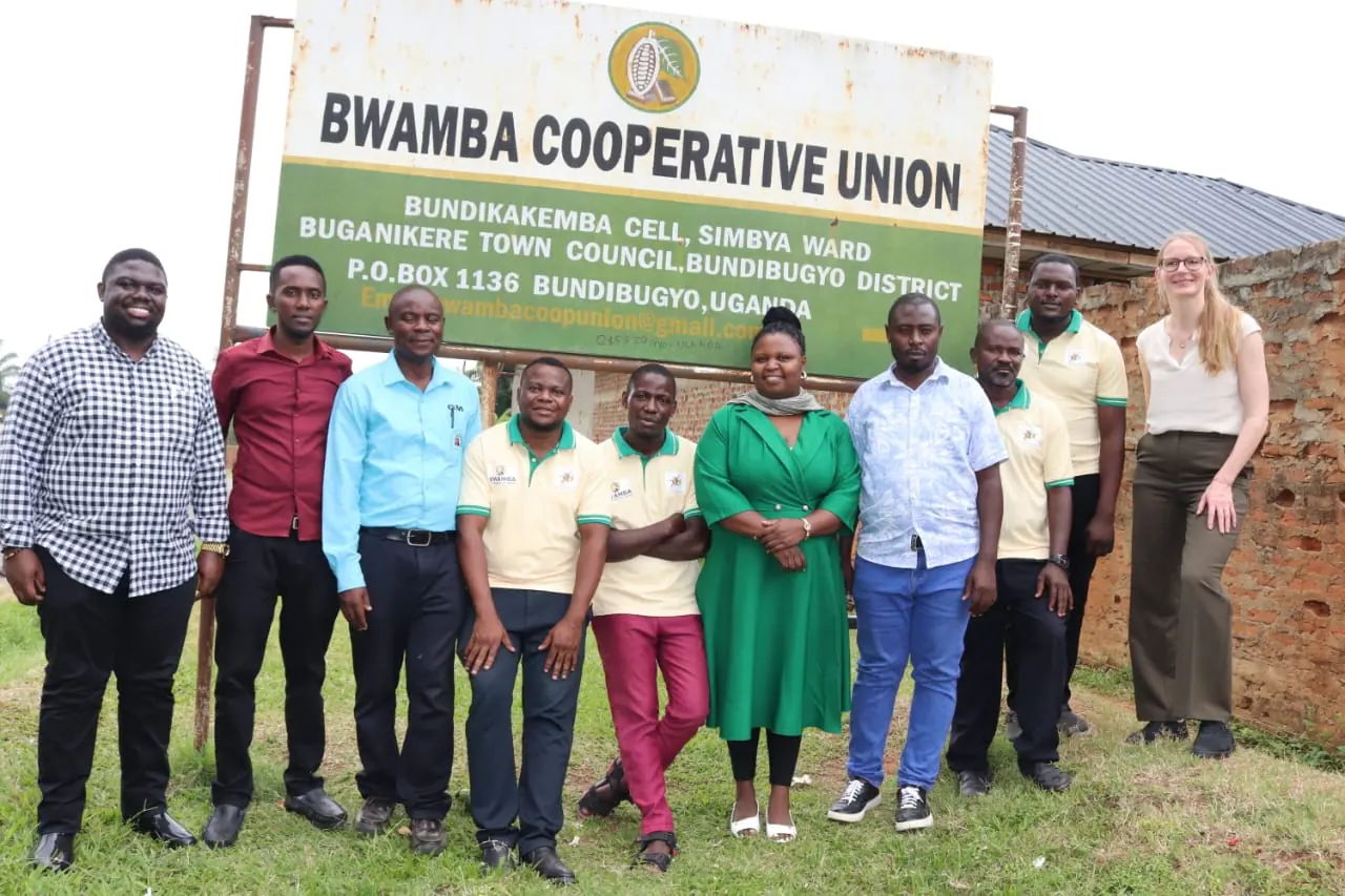
KAMPALA, Uganda, 4 September 2026. WHSPKAH Research and Business Network Ltd. today shares the story behind Whstrace, the traceability platform it built with Bwamba Cooperative Union in western Uganda. Funding support from GIZ made the first deployment possible. Whstrace is now used to register growers, map their land and prepare cocoa for European buyers, and it tracks more than 10,000 farmers on more than 20,000 farms.
- 10,000+
- Farmers tracked
- 20,000+
- Farms mapped
- 8
- Questionnaire sections
Why we started
Cocoa sold into the European Union now has to come from land that was not cleared of forest after 31 December 2020. The EU Deforestation Regulation asks buyers to prove it plot by plot. That proof has to begin with the farmer, long before an exporter files a single document.
In many smallholder supply chains the first record is still a paper register. A ledger can say that a farmer sold forty kilograms in March. It cannot say where the trees stand, when the land was last cleared or who verified it. We asked a plain question: what would it take to build the proof at the farm gate, while the cocoa is being bought?
Gathering requirements on the farm
We did not begin with a screen. We began by walking cocoa farms with the Bwamba Cooperative Union team and our project partners, and by asking the people who register farmers how a registration really goes.
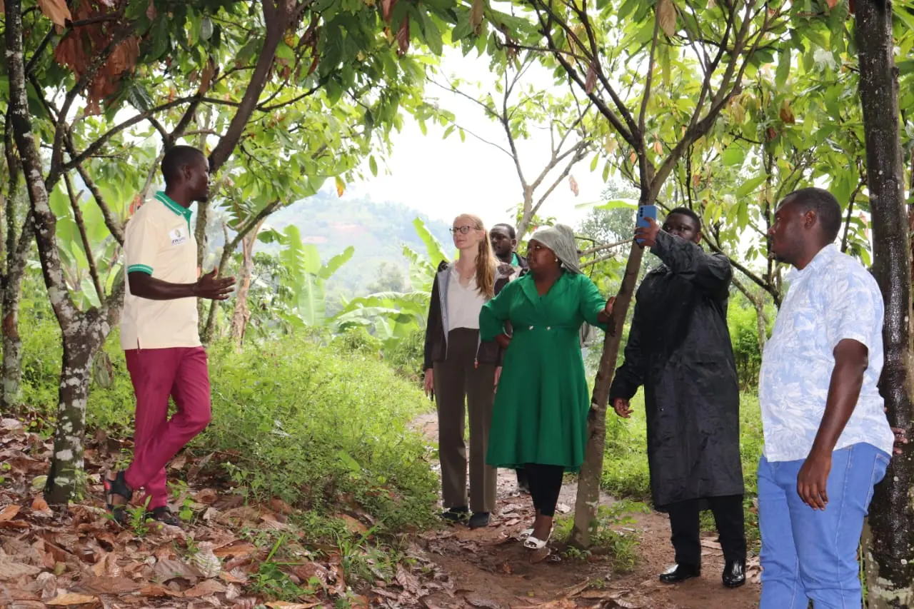
The requirements came from three places, and each one changed what we built.
- 01
The regulation. Geolocate every plot, show that no forest was cleared after the cut-off, and keep the evidence available for five years. These three duties became the spine of the data model.
- 02
The cooperative. Who registers a farmer, who approves a record and what each cooperative wants to see about its own members. This shaped the roles, the permissions and the reports.
- 03
The field. Entry-level Android phones, patchy signal, rain, bright sun and officers who walk for hours between plots. So the app saves everything on the phone first and syncs when a connection appears.
How the data was collected
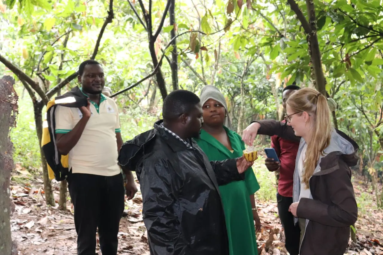
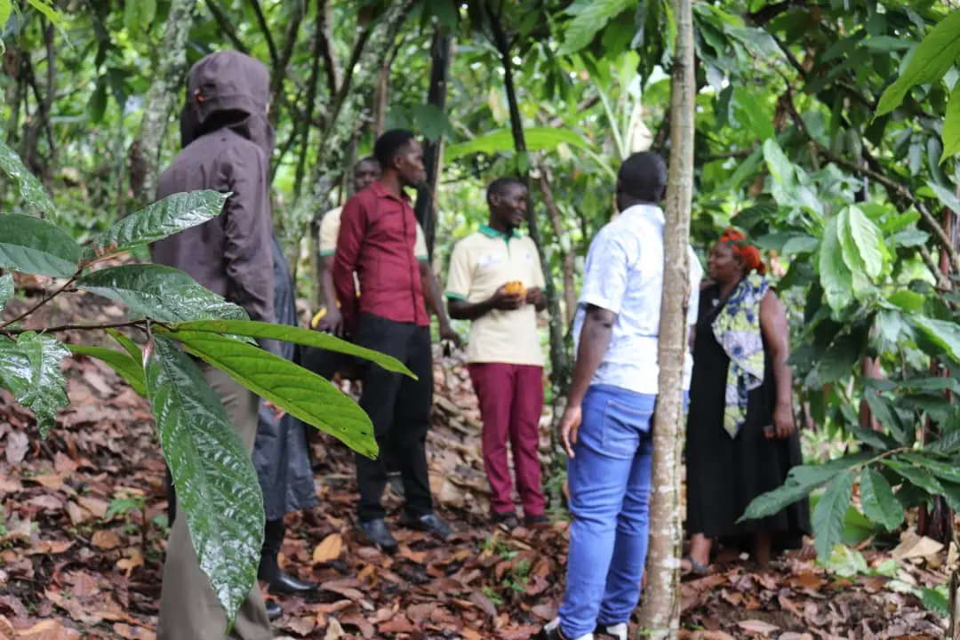
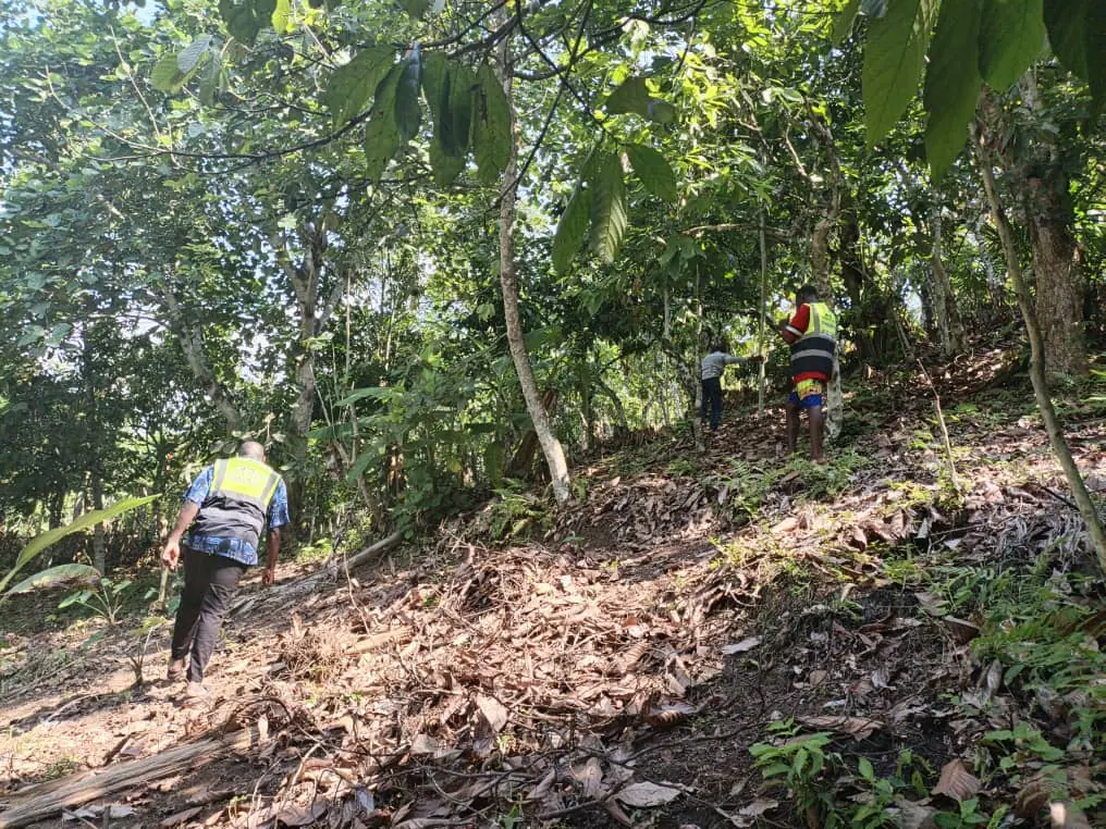
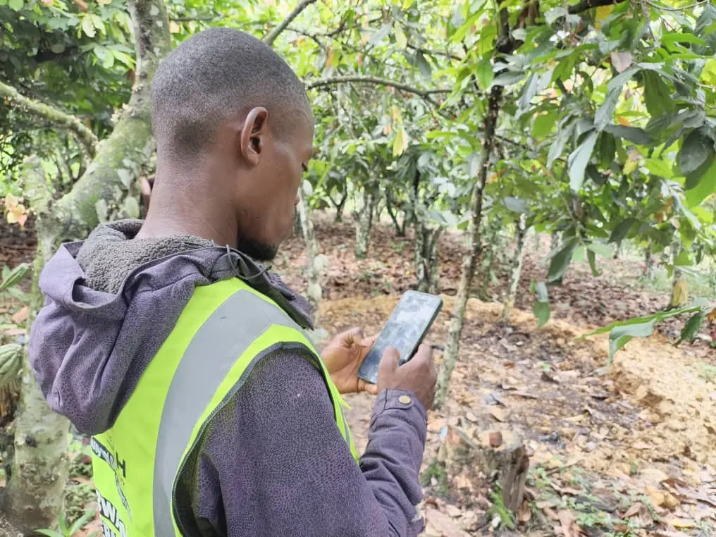
Collection is done by field officers from the cooperative, in high-visibility vests marked with the Bwamba Cooperative Union and WHSPKAH names. Each officer registers the farmer, then walks the edge of every plot with the phone. A GPS point is enough for a small plot. Plots over four hectares need a polygon, so the officer walks the full boundary.
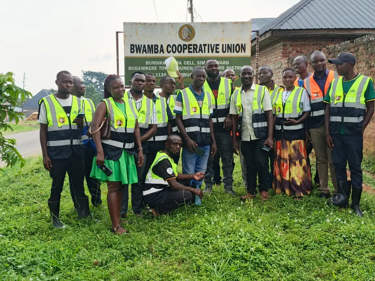
What the phone keeps for every boundary point:
- The GPS fix and its reported accuracy, so a weak reading can be recognised later.
- A photo of the point, which gives the compliance desk something to check the coordinates against.
- A flag when the boundary crosses itself, so the officer can correct it while still standing on the plot.
- The farmer, the farm and every answer, saved on the device first and sent by a background queue that retries until the server confirms. A dropped connection never creates a duplicate farmer.
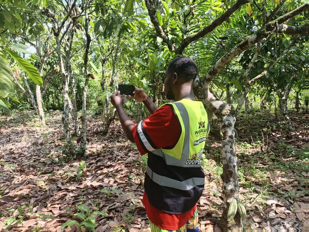
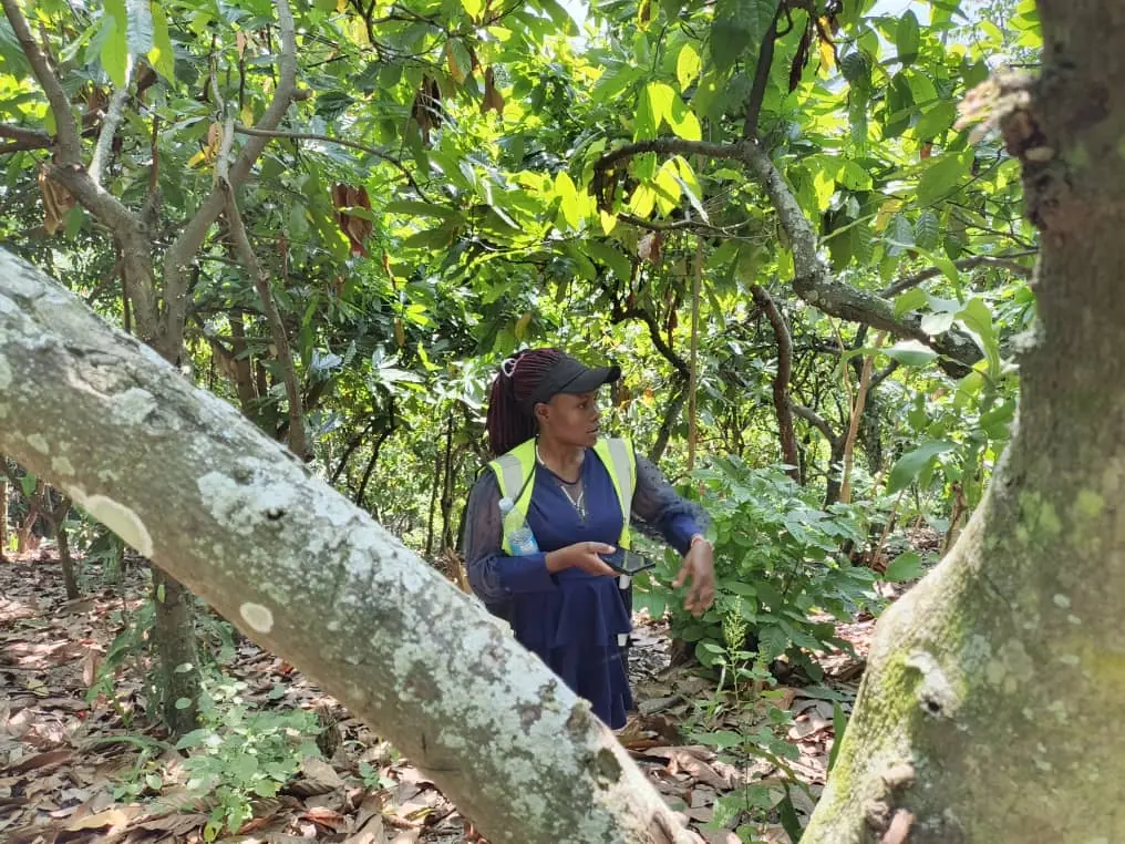
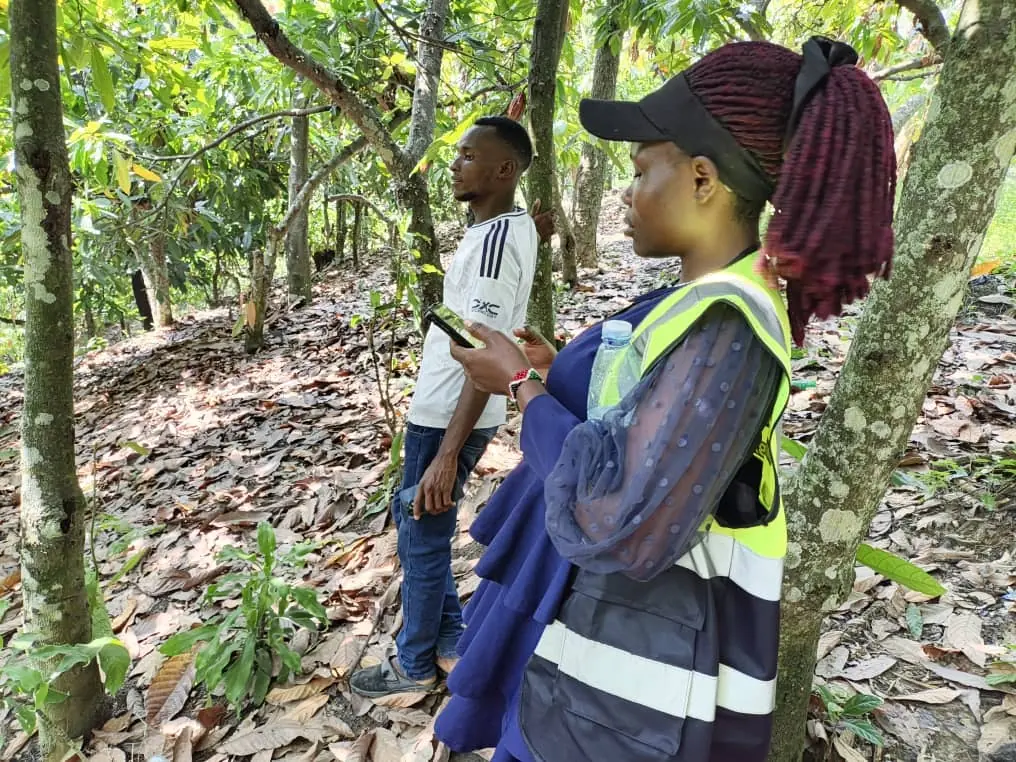
Mapping day with the Bwamba field team.
The questionnaires
Beyond the boundary, a buyer wants to know how a farm is run. The farm sustainability questionnaire covers eight areas, with questions an officer can ask in the field and a farmer can answer on the spot.
- 01Soil assessment
- 02Pest management
- 03Environmental assessment
- 04Energy management
- 05Production
- 06Waste management
- 07Child labour
- 08EUDR declarations
Answers come in the forms people actually give them: single and multiple choice lists, numbers with units, dates and yes or no. The EUDR section also records land tenure documents, permits and tax status, which a buyer needs for the legality half of the due diligence statement.
A questionnaire that changes without an app update
The questionnaire is data. When a question is added or reworded, a new version is published once and every phone downloads it at the next online sign-in. Old versions stay on the phone until the answers recorded against them have been delivered, so an officer in the middle of a survey never loses work to a change at head office.
Taking the forest question off the form
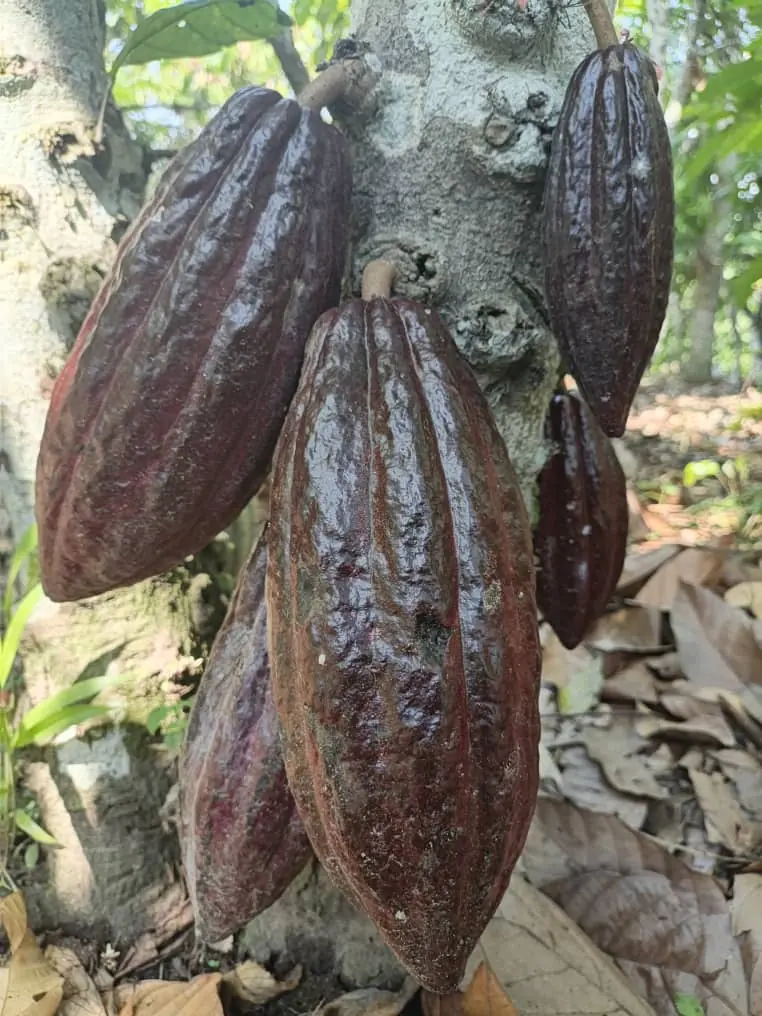
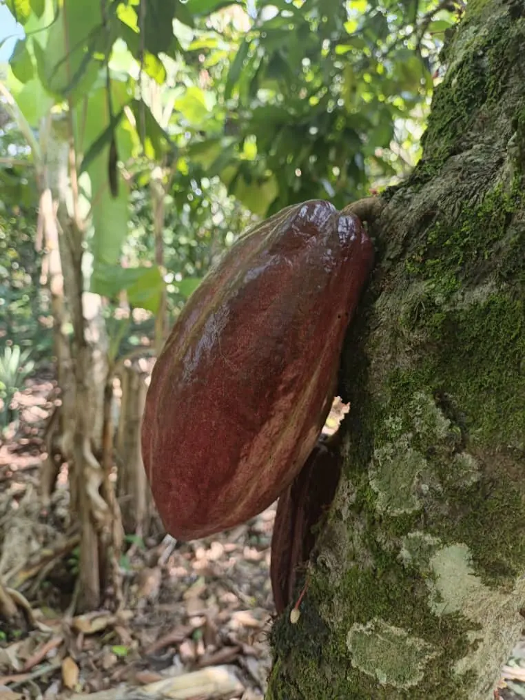
Early on we asked farmers about forest cover on their land. A farmer's memory of a single year is the weakest evidence in the file, so we removed those questions from the form. The forest cover baseline is now filled in by the compliance check after a farm syncs, from satellite data, and it is marked as coming from the system.
Proving the evidence
Once a plot is on the server, the compliance engine checks it against forest cover at the 2020 cut-off, tree-cover loss and deforestation alerts since, overlap with protected areas and overlap with other farmers' plots. A second opinion comes from a separate analysis. The verdict is compliant, needs review or not compliant, and it is stored with its evidence and a SHA-256 fingerprint.
Every change to a farm, a receipt or a verdict goes into an append-only audit log in which each entry carries the hash of the one before it. One check walks the whole chain and names the first entry that does not match. Deliveries are graded into lots, and each lot can be packaged for a buyer with its plots, verdicts, evidence, receipts and statement reference.
What it makes possible
We think of Whstrace as more than compliance software. A system that works on modest phones, offline, and is run by the cooperative itself opens up several things for the cocoa sector in Uganda and for the rest of the region.
- 01
Smallholders stay in the supply chain
Buyers will source from places where they can prove origin. A farmer with a mapped plot and a verified record is easier to buy from than a farmer without one, so good records protect market access for the people with the least room to lose it.
- 02
Cooperatives own the record
Unions and cooperatives manage their own members and officers. The people who know the land keep the data, and the same record serves the field team, the compliance desk and the buyer.
- 03
Evidence a regulator can check
A plot is compliant because a dated satellite check says so, stored with its fingerprint. A buyer can open one package per shipment and follow every claim back to its source.
- 04
The same plots serve the next crop
Cocoa came first. Coffee and the other EUDR commodities use the same plots, questionnaires and checks, so a cooperative that has mapped its land once does not start over for each crop.
- 05
Verified lots can be offered to buyers
Graded lots that never mix eligible and non-eligible cocoa can be listed in an online shop, where a buyer sees what is available together with the proof behind it.
With the support of GIZ
Whstrace exists because GIZ chose to back a cooperative-first approach to traceability in Uganda. Its funding made the first deployment possible, from the field visits and the engineering to the mapping rounds with Bwamba Cooperative Union, and it gave the project room to be shaped by the way the cooperative works.
We thank GIZ and the German cooperation team in Uganda for their trust, and the Bwamba Cooperative Union officers, staff and member farmers who gave their time, their land and their patience while the system was tested in the field.

What comes next
Our next steps are to bring more cooperatives onto the platform, extend the same checks to other commodities and keep improving the field app from what officers tell us after each mapping round. Cooperatives, buyers and development partners who want to see Whstrace working are welcome to ask for a demonstration.
Request a demoAbout Whstrace
Whstrace is a cocoa traceability and EUDR due diligence platform. Field officers register farmers and map plots offline, satellites check every plot for forest loss, and each shipment can be handed to a buyer with its evidence. It is the flagship product of WHSPKAH.
About WHSPKAH
WHSPKAH Research and Business Network Ltd. is a Kampala consultancy in business development, software development, project management and advisory services.
Media contact
WHSPKAH Research and Business Network Ltd., Kampala, Uganda
katoabdulhakim68@gmail.com · +256 774 139 145
###